Flood zones and wetlands on Florida vacant land: how to read the maps before you buy
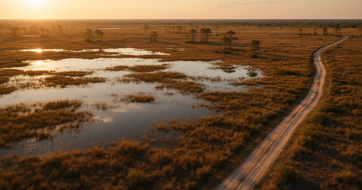
Buying a Florida land parcel without checking the flood zone is a bit like buying a used car without looking under the hood - the price might look great right up until the moment it is not. Florida is flat, porous, and surrounded by water on three sides, which means flood exposure and wetland restrictions are real considerations on a surprising number of otherwise attractive parcels. The good news is that nearly all of the critical data is free, publicly available, and readable by any buyer willing to spend an afternoon with a browser and a printed county parcel map.
This post is a focused, step-by-step guide to one specific part of Florida land research: understanding flood zones and wetlands. If you want the broader picture of everything else to check before buying, the Vacant Land Due-Diligence Checklist for Florida Buyers is a good companion read. Here we are going deep on just water.
Why flood and wetland status matters more in Florida than almost anywhere else
Florida has a very large wetland system, among the largest in the continental United States, based on data available through the National Wetlands Inventory. The state sits just a few feet above sea level across vast stretches of its interior, and its sandy soils drain slowly even when they look dry on the surface. Seasonal rainfall in summer can be heavy in many counties, and tropical storms can add substantial additional rainfall in a single day.
For a vacant land buyer, this translates into two separate but related concerns.
The first is flood risk - the probability that surface water from rain, river overflow, or storm surge will cover the land. Flood risk affects whether you can get a building permit, what your flood insurance will cost, and in some cases whether a lender will touch the parcel at all (relevant even in owner-financed deals if you ever want to refinance).
The second is wetland status - a legal and ecological designation that controls what you are allowed to do with the land regardless of whether it is currently flooded. Wetlands are regulated at the federal level by the U.S. Army Corps of Engineers and at the state level by Florida's five water management districts. Filling, grading, or building on a regulated wetland without a permit is a federal and state violation, and the fines are serious.
These two issues overlap but are not identical. A parcel can sit in a FEMA high-risk flood zone and have no jurisdictional wetlands. A parcel can have wetlands and sit in a low-risk flood zone. A parcel can have both, or neither. You need to check each one separately.
Step 1: Read the FEMA Flood Insurance Rate Map (FIRM)
The Federal Emergency Management Agency publishes Flood Insurance Rate Maps - called FIRMs - for nearly every county in the United States. These maps divide land into flood zones identified by letter codes. Understanding those codes is the first skill to develop.
The zone codes you will encounter most often on Florida parcels:
- Zone X (shaded and unshaded) - Moderate to minimal flood hazard. Unshaded Zone X parcels are outside the 500-year floodplain. Shaded Zone X parcels fall between the 100-year and 500-year floodplain. Flood insurance is not federally required here, though it may still be wise.
- Zone AE - The bread-and-butter high-risk zone. AE means the parcel is within the Special Flood Hazard Area (SFHA), which FEMA defines as land with at least a 1-percent annual chance of flooding (commonly called the "100-year flood"). AE zones have published Base Flood Elevations (BFEs), which tell you how high above sea level the flood water is expected to reach. This number is critical for anyone planning to build.
- Zone AH and AO - Shallow flooding zones. AH indicates shallow ponding, AO indicates shallow sheet flow (water moving across the surface like a slow, wide river). Both carry high-risk designation.
- Zone A - High-risk, but without a published BFE. Common in rural and less-studied areas. The absence of a BFE makes engineering and permitting harder, not easier.
- Zone VE - Coastal high-hazard area, including wave action. Mostly relevant for coastal parcels, but worth knowing.
How to look it up:
Go to the FEMA Flood Map Service Center at msc.fema.gov. Type in the parcel address or the county name and navigate to the current effective FIRM panel for that area. Each county is divided into map panels; you need the panel that covers your specific parcel. Download the PDF, then compare the parcel boundaries (from the county property appraiser's map) against the flood zone shading.
A faster first pass is FEMA's own National Flood Hazard Layer Viewer, also accessible from msc.fema.gov, which lets you type an address and see the flood zone color-coded on a modern satellite basemap. However, always confirm against the official FIRM panel for the legal designation - the viewer is a great visual tool but is not the authoritative document.
One thing that trips up buyers: FEMA maps are not always current. A map may not have been revised in a decade. Some counties have issued Letters of Map Revision (LOMRs) or Letters of Map Amendment (LOMAs) that change specific parcels' designations without redrawing the entire map. Check the FEMA Map Service Center for any amendments tied to the parcel you are researching, and ask the seller or county planning office whether any recent revisions apply.
Step 2: Cross-reference with the county property appraiser and GIS
Florida county property appraisers publish detailed GIS layers online - most of them for free. Many now include a flood zone overlay right inside their parcel search tool. Marion County, Polk County, Highlands County, and others have sophisticated map portals where you can toggle the FEMA flood zone layer, the wetlands layer, and the aerial imagery all at once.
Search for "[county name] property appraiser GIS" to find your county's portal. Once you have the parcel on screen, look for a layers panel or legend. Turn on the flood zone and wetlands layers if available. This step does not replace checking the official FIRM, but it is faster and gives you a sense of where the parcel sits before you dig into the federal documents.
Also check the county's land development code or zoning ordinance for any local floodplain regulations that exceed FEMA's minimums. Florida allows counties and municipalities to adopt stricter floodplain management rules, and some have. The county building or planning department website is the right place to look.
Step 3: Identify wetlands using the National Wetlands Inventory
The U.S. Fish and Wildlife Service maintains the National Wetlands Inventory (NWI), accessible through the Wetlands Mapper at fws.gov/program/national-wetlands-inventory. Type in the parcel location and the mapper displays mapped wetland polygons color-coded by wetland type: freshwater emergent marsh, freshwater forested/shrub wetland, estuarine, riverine, and so on.
Each wetland polygon carries a classification code. A code beginning with "PEM" indicates a palustrine emergent wetland - think cattail marsh. "PFO" is palustrine forested - think cypress swamp or bottomland hardwoods. "PSS" is palustrine scrub-shrub. These distinctions matter because forested and scrub-shrub wetlands in Florida tend to draw heavier regulatory scrutiny than some emergent types.
Important caveat: The NWI is a planning tool, not a legal determination. It is based on aerial photo interpretation and may miss small wetlands or include areas that have since been converted legally. A formal wetland delineation by a qualified wetland scientist or environmental consultant is the only way to know for certain what is regulated on a specific parcel. For high-stakes purchases, that delineation is money well spent.
Step 4: Check Florida's five water management districts
This is the step that surprises buyers who are used to other states. Florida does not have a single statewide water regulator below the federal level. Instead, the state is divided into five regional water management districts, each with its own permitting authority over wetlands and surface water within its boundaries. If you plan to do any earth-moving, filling, or construction that affects wetlands or surface water on your parcel, you will need an Environmental Resource Permit (ERP) from the applicable district.
The five districts and the general regions they cover:
- Northwest Florida Water Management District (NWFMD) - The Panhandle, roughly west of the Suwannee River.
- Suwannee River Water Management District (SRWMD) - North-central Florida, including much of the Suwannee River basin.
- St. Johns River Water Management District (SJRWMD) - Northeast Florida and a wide band down the east-central interior, including the St. Johns River basin.
- Southwest Florida Water Management District (SWFWMD, often called "Swiftmud") - The Tampa Bay region, southwest coast, and much of central Florida including Polk, Hillsborough, Pasco, and Pinellas counties.
- South Florida Water Management District (SFWMD) - South Florida, including the Everglades, Lake Okeechobee, and everything south of roughly Orlando.
Each district publishes its own GIS mapping portal, permit databases, and ERP application guidance. Start by identifying which district covers your parcel, then visit that district's website. Most of them have a public permit search where you can look up whether any prior permits were issued for the parcel - or whether any violations are on file.
For example, SWFWMD's online permit search at watermatters.org lets you search by parcel ID or owner name. SFWMD's OSCAR system at sfwmd.gov provides similar functionality. These databases can reveal whether a previous owner tried and failed to get a permit to fill wetlands - a fact that has real implications for what you can do with the parcel and whether any restoration obligations are attached to it.
If you are evaluating a parcel in Polk County or along the I-4 corridor - an area seeing significant land interest right now, as we have covered in our piece on Polk County's path of growth along the I-4 corridor - SWFWMD is the district to check. Much of that county has shallow water tables and significant wetland features that are not immediately obvious from a road or aerial photo.
Step 5: Understand what the designations actually mean for your plans
Reading the maps is only useful if you connect the data to what you actually want to do with the land.
If you plan to leave the parcel undeveloped: Flood zone and wetland designations have limited practical effect on day-to-day ownership. You will not need flood insurance if you are not borrowing money against the property, and you will not need a wetland permit if you are not disturbing anything. Property taxes may still reflect the land's limitations - something covered in detail in our post on property taxes on Florida vacant land.
If you plan to build: A parcel in Zone AE with wetlands present can still be buildable - but it requires careful siting to stay outside the wetland boundary, meeting or exceeding the BFE for any structure's finished floor elevation, and likely obtaining both a district ERP and federal Section 404 authorization from the Army Corps of Engineers. This is not impossible, but it takes time, money, and a qualified engineer or environmental consultant.
If you plan to resell: A heavily flood-impacted or wetland-dominated parcel is a smaller market. Some buyers specifically seek wetland parcels for hunting, fishing, or conservation; others will walk away entirely. Knowing what you have going in - before you close - lets you price accordingly and market honestly.
Common mistakes that come up again and again
A mistake that surfaces repeatedly in owner forums and land-buying communities is relying on the seller's description of the land's buildability instead of pulling the actual maps. A seller saying a parcel is "high and dry" is sharing their impression, not a regulatory determination.
Another recurring issue is confusing flood zone with flood frequency. Zone X does not mean the land never floods - it means the modeled probability is below the FEMA threshold. Florida's intense rainy seasons can flood Zone X land temporarily, especially in low-lying interior counties.
A third mistake is overlooking isolated wetlands. Florida historically regulated isolated wetlands (those not connected to navigable waters) under state law, even when federal jurisdiction was unclear. Florida's own Environmental Resource Permit program through the water management districts covers isolated wetlands in many cases. Do not assume that because a wetland looks small and disconnected it is unregulated.
Putting it all together before you sign
Before committing to a Florida land purchase, run through this sequence:
- Pull the current FIRM panel from msc.fema.gov and note the flood zone designation and BFE if applicable.
- Check for LOMRs or LOMAs that may have amended the designation for that specific parcel.
- Open the county property appraiser's GIS portal and layer in flood and wetland overlays.
- Run the parcel through the FWS National Wetlands Inventory mapper at fws.gov.
- Identify the applicable water management district and search its public permit database.
- Contact the county planning or building department if you have specific development plans, and ask directly about floodplain and wetland permits.
This research costs you nothing but time, and it can save a great deal of money and disappointment. If you are exploring owner-financed land options in Florida, understanding how financing terms interact with land characteristics is also worth reading up on - our guide on how owner-financed land works in Florida explains the full process from reservation to recorded deed.
The Florida Land for Sale buyer's guide is another practical overview of what to look for across all land types in the state, and our FAQ page collects the questions buyers ask most often about Florida parcels and how purchases work.
Water is what makes Florida extraordinary - the springs, the marshes, the slow rivers and sudden downpours. It is also what makes researching a parcel here a skill worth developing carefully. The maps are free, the data is public, and the time you invest in reading them is some of the best due diligence you can do.
Sources & further reading
- FEMA Flood Map Service Center - official FIRM panels and amendments (Federal Emergency Management Agency (FEMA))
- National Wetlands Inventory Wetlands Mapper (U.S. Fish and Wildlife Service)
- Southwest Florida Water Management District - Environmental Resource Permitting and GIS (Southwest Florida Water Management District (SWFWMD))
- South Florida Water Management District - permit search and regulatory programs (South Florida Water Management District (SFWMD))
Revision history (1)
- Pre-publish editorial QA: clean; claim audit: 5 claims, 2 rewritten
Claim-by-claim audit (5 checked)
- “Florida has a very large wetland system, among the largest in the continental United States, based on data available through the National Wetlands Inventory.” (rewritten to what the article can stand behind)
- “Seasonal rainfall in summer can be heavy in many counties, and tropical storms can add substantial additional rainfall in a single day.” (rewritten to what the article can stand behind)
- “Filling, grading, or building on a regulated wetland without a permit is a federal and state violation, and the fines are serious.” (reasoning shown in the article)
- “AE zones have published Base Flood Elevations (BFEs), which tell you how high above sea level the flood water is expected to reach.” (cited → msc.fema.gov)
- “Zone VE - Coastal high-hazard area, including wave action.” (cited → msc.fema.gov)
Questions
Questions about a parcel?
Tell us which parcel you are looking at and what you want to know. A real person at Lotvestors LLC answers by email, usually within one business day.
We work by email, not by phone: it keeps a written record of every answer about a parcel.